This is my 3rd time trying to climb a 8k mountain. The first time was in 2021 on Lhotse - no success that time because of the weather (or so I tell myself) - and after it, I said: never again. After that, in 2024, I climbed Manaslu, reaching the 8,163m summit despite a few challenges.
Recently, I decided to attempt Mount Everest. The main obstacle for me was the price - it is painfully expensive. But options are limited when there is only one highest peak in the world, and since we only live once, there's no time to waste.
My name is Pavlo, and this is my story about climbing Mount Everest.
After the unsuccessful Lhotse expedition, I was already familiar with most of the climbing route to Everest, since the path up to Camp 4 on Lhotse is identical. I had all the necessary gear and knew what to expect (or at least I hoped I did).
At the beginning of 2026, I booked a spot on an international team with Seven Summit Treks. On all my previous attempts on 8k peaks, I had planned to climb without supplemental oxygen. This time, I decided not to try that. I saw no real chance of climbing Everest without oxygen without having previously summited an 8,000-meter peak without it. So, I opted for the standard package.
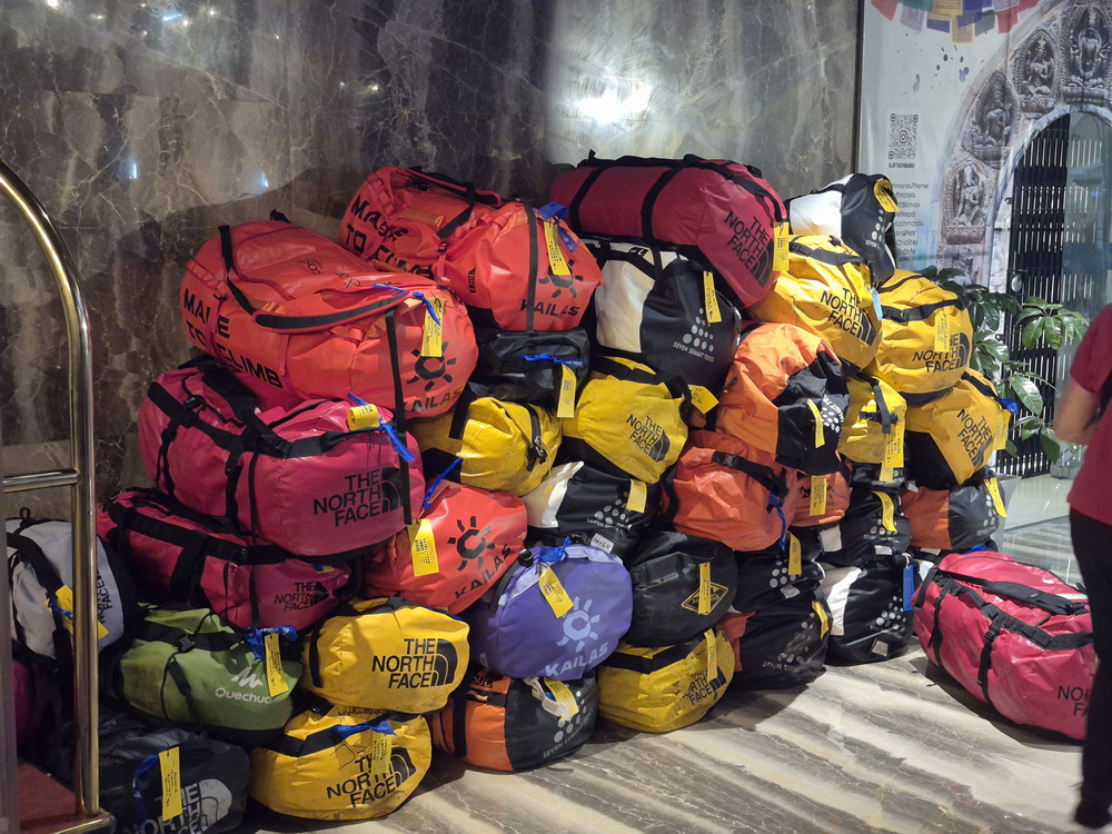
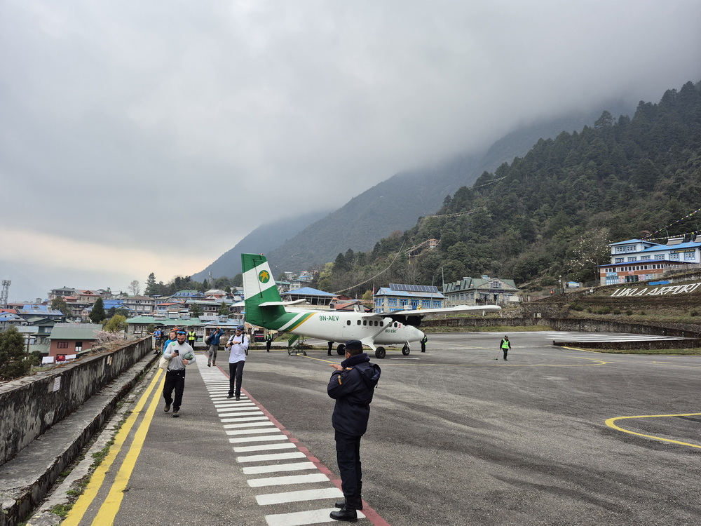
The expedition began on April 12. Upon arriving at the hotel in Kathmandu, I met up with a few friends from previous expeditions, mostly from Manaslu. After a couple of days, we departed for Lukla, where the trek to Everest Base Camp begins. It is the peak of the season, so the trail is packed with trekkers and climbers. This year, the queue for the Everest summit felt like it started as early as Namche Bazaar.
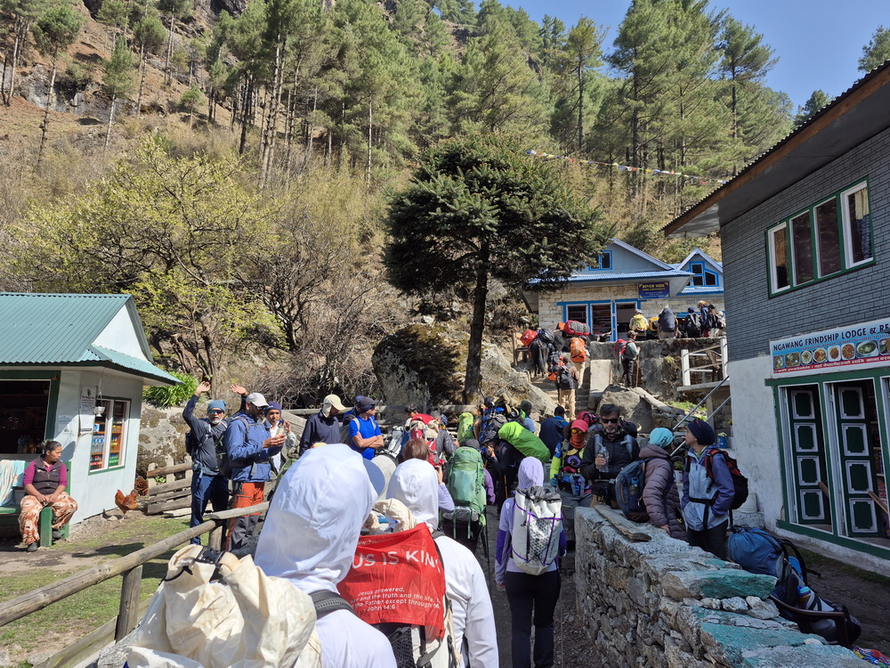
After about 10 days of wonderful trekking, we arrived at Everest Base Camp (EBC) at an altitude of around 5,300 meters above sea level.
Lobuche peak
And here came the first complication: the route through the Khumbu Icefall was still closed. Usually, it opens by mid-April, but it was already April 21st and no route existed yet. The reason: a massive serac (a large block of ice) was hanging directly over the trail, making it extremely dangerous. It could collapse at any second, so we had to wait for a couple of days. After about a week, it was still there, with authorities repeatedly telling us, "Maybe tomorrow."
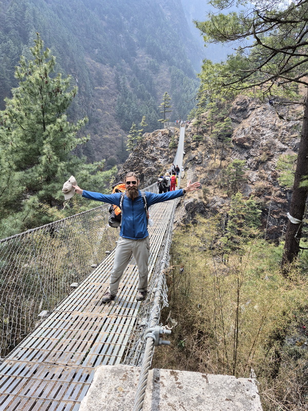
The problem was that climbers couldn't do acclimatization rotations because the route wasn't open even to Camp 1 (6,100 m). There weren't many alternative options nearby either - only a 2–3 hour climb up to Pumori Peak High Camp, but that was "only" 5,600 m.
Some climbers decided to head to Lobuche East Peak (6,119 m) - better than nothing. After a week at Base Camp, I decided to do the same, but with an advanced setup: I wanted to spend a night high on the mountain. I had heard there was a good spot to pitch a tent below 6,000 meters.
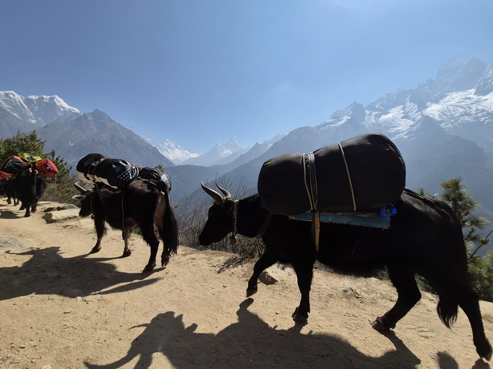
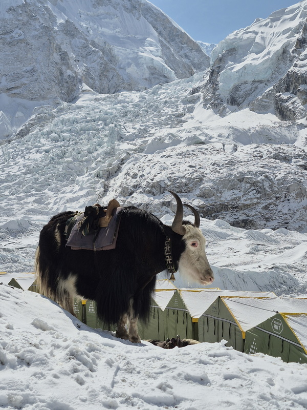
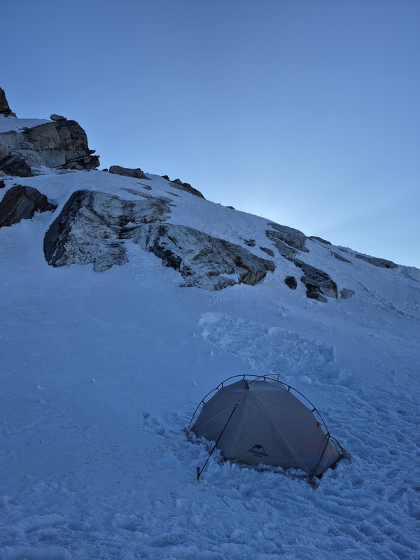
I came prepared and brought my own tent, just in case. With my Sherpa guide Lakpa, I left Base Camp and headed back down to Lobuche village. My plan was to climb to the summit together directly from Lobuche village, after which I would stay in the tent near the top while Lakpa went back down. The next day, I would pack up my gear and descend as well. When we set off from Lobuche village, the weather was pretty bad - heavy clouds and strong winds. Camping high on the mountain no longer seemed safe. We continued climbing to the mountain pass where the technical climbing begins, and there we finally decided that I wouldn't sleep at high camp after all. So, we left all our camping gear (tent, sleeping bag, etc.) in a stash. With light backpacks, we headed straight for the summit.
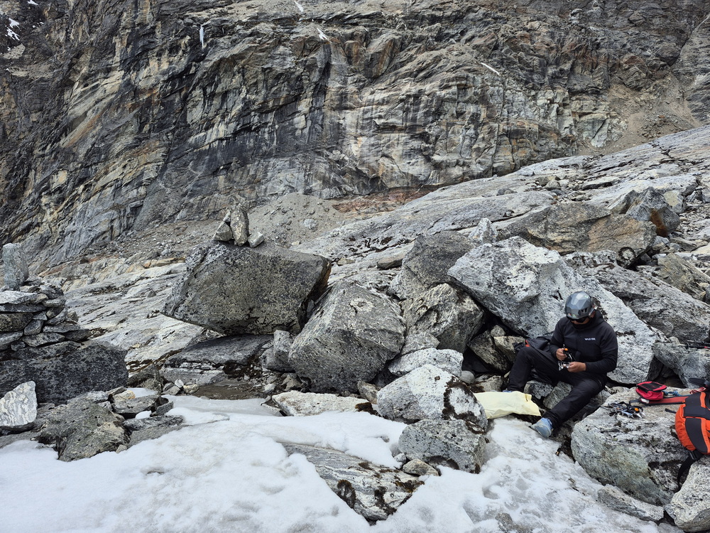
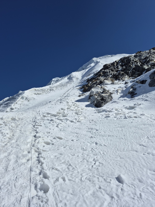
The route was quite interesting - a mix of rock and snow. The final summit push involved a steep snow-and-ice slope with fixed ropes.
On the way up, we mostly met people heading down, since most climbers start early in the morning from Lobuche High Camp, which is much closer to the peak than the village. Their goal is to reach the summit at sunrise - something I personally dislike. After a few hours, we reached the summit. The weather had improved dramatically - sunny, windless, and completely empty. We had awesome views of the valley and Mt. Everest.
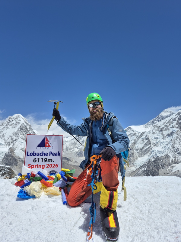
Then I thought: this is actually great weather for camping, but all my gear was in the stash lower down. Long story short, we descended, Lakpa returned to Lobuche village, and I headed right back up with my tent and gear to spend the night up there. It worked out well - I slept at an altitude of around 6,000 meters.
Early the next morning, I stepped out of my tent and saw many climbers heading up. I thought, why not do it once more? So I climbed to the summit a second time. Two summits for the price of one, profit!
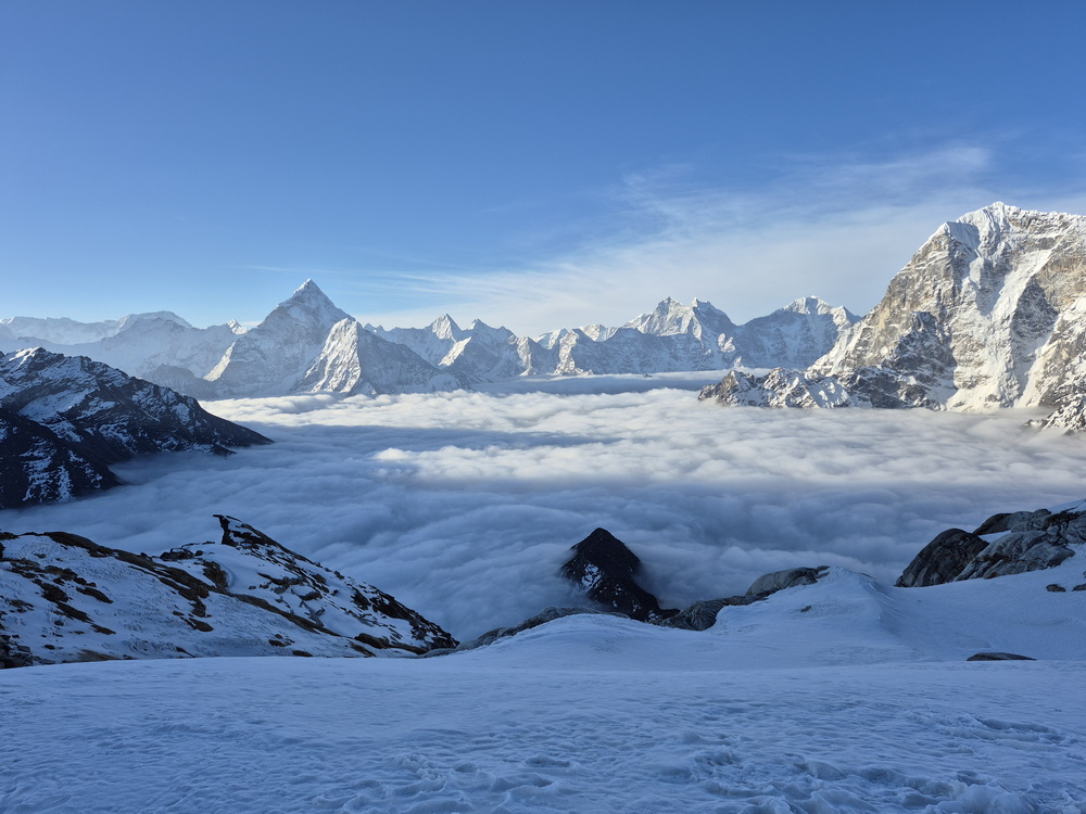
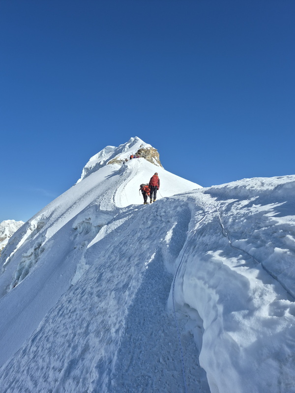
After that, I packed up all my gear and returned to Everest Base Camp.
Khumbu Icefall is still closed. The Icefall Doctors - a specialized team of Sherpas - worked every day trying to find an alternative route, but progress was slow.
Finally, one day the route was ready - passing right underneath that threatening serac. The way was open, but that didn't mean I could go immediately. First, companies needed to establish camps and carry food and fuel up, which required a few more days. Almost all gear is carried by porters through the Khumbu Icefall. This year brought an innovation: a heavy-lift drone capable of carrying around 50 kg from Base Camp to Camp 1 in just 15 minutes. For a porter, that same journey takes 6 hours of risky icefall climbing.
Acclimatisation
After a few days, everything was finally ready for me to head up.
Here came the part I hate the most: night climbing. Typically, people cross the icefall before the sun rises and temperatures begin to climb. Since the journey takes about 6–8 hours, you have to leave Base Camp shortly after midnight to reach Camp 1 at or before sunrise.
Waking up at 00:30, I put on my down jacket, down pants, harness, boots, helmet, and all the required gear. Before heading to the dining tent for a light snack, I realized I was already hot. Down layer off - a windproof jacket was more than enough. At 1:00 AM, Lakpa and I set off. A long line of headlamps was already visible on the icefall, looking like a line of ants.
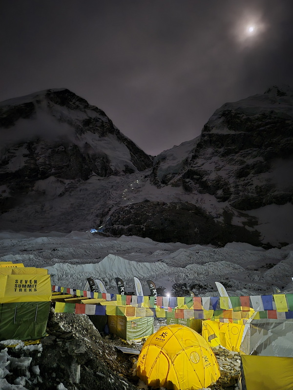
At the base of the icefall, we strapped on our crampons. Just 15 minutes in, we got stuck in a traffic jam at a steep ice slope. Once past it, we managed to overtake a large, slow-moving group and pick up the pace.
Countless crevasses, ropes, ladders, hanging seracs, and blue ice surrounded us. Near the end of the icefall lay the most daunting section: a massive crevasse - 10 meters wide and terrifyingly deep, with completely vertical walls. To cross it, a bridge had been constructed from five ladders tied together. As you can imagine, it wasn't the most stable structure, but there was no alternative route. And, of course, that hanging serac was looming directly overhead.
We crossed that intense section and were almost at Camp 1 (6,100 m) when it started to snow. By the time we reached camp, a full-blown snowstorm had set in. To make matters worse, there were no available tents - or rather, all pitched tents were occupied. We had to locate and dig out our tent package, clear a flat area, and pitch the tent in the middle of a storm. A true adventure. We spent the rest of the day relaxing, sleeping, and eating.
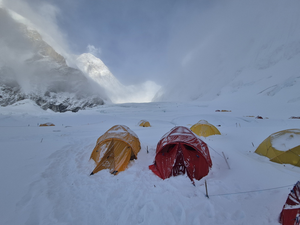
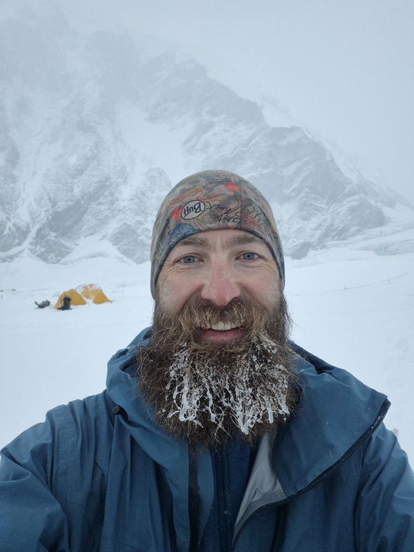
The next morning, we set off for Camp 2 at 6,400 meters. You generally have two choices: start early when it's freezing cold, or start a few hours later when it becomes scorching hot. I chose an option right in the middle. The first 30 minutes were freezing, and after that... well, you can guess. The route was relatively straightforward - a gentle incline through terrain sculpted by huge snow-covered crevasses. Nothing out of the ordinary, but you had to be careful not to fall in. The views around us were breathtaking: vertical ice walls, the formidable Lhotse Face directly ahead, and the towering summits of Everest, Lhotse, and Nuptse.
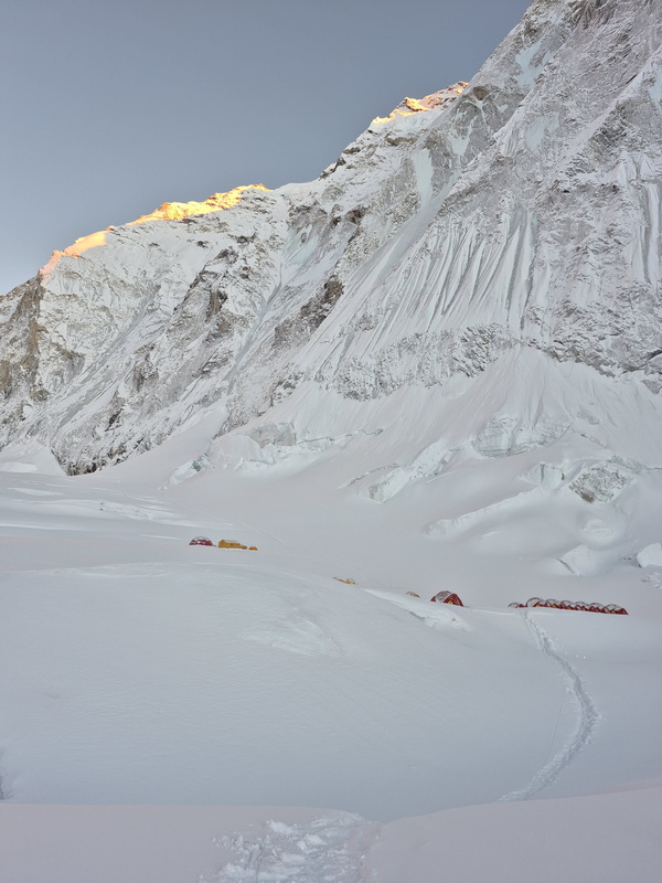
The trek from Camp 1 to Camp 2 is relatively short - about 5 km and 3 hours. Camp 2 sits on a glacial lateral moraine, and the final section of the trail is steep, just to wear you out at the end.
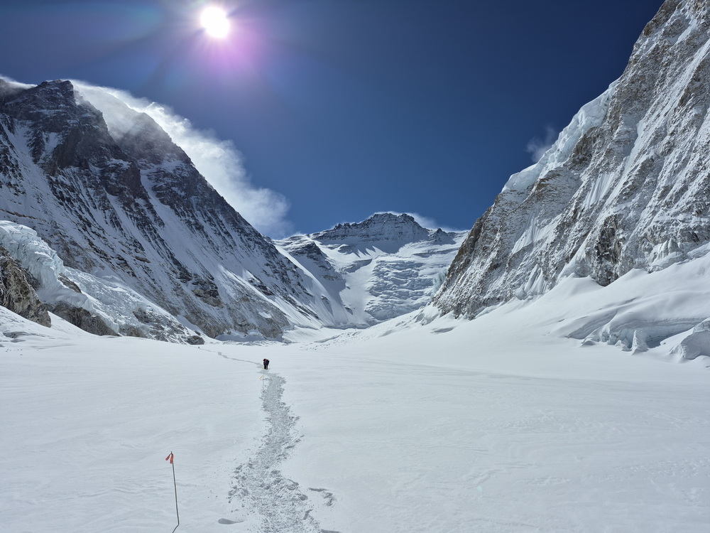
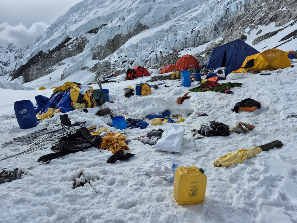
When I arrived, there were surprisingly a few open tents, but there was a shortage of food. Because of the delayed opening of the Khumbu Icefall, teams hadn't had enough time to properly establish the high camps. Fortunately, I was prepared with my own freeze-dried meals, though food in general was limited. In the center of camp, between the dining and kitchen tents, sat a large excavated pit - a supply stash from the previous season. It looked like an explosion crater, strewn with debris, with people digging inside. I even spotted a soaked, frozen down suit that looked eerily like a body. I joined the excavation and managed to dig out some supplies, securing our food situation for a while.
When I left Base Camp, my goal had been to climb to Camp 3 at 7,100 meters, but that proved impossible. Here at Camp 2, there simply weren't enough fixed ropes available to complete the route up. The furthest we could go was the base of the Lhotse Wall (around 6,700 m).
I wanted to stay and wait for the route to open, but my Sherpa tried to convince me to descend the next morning. We compromised and agreed to wait one more day before heading down. During those waiting days, I hiked up to the base of the wall twice just to gain some extra altitude.
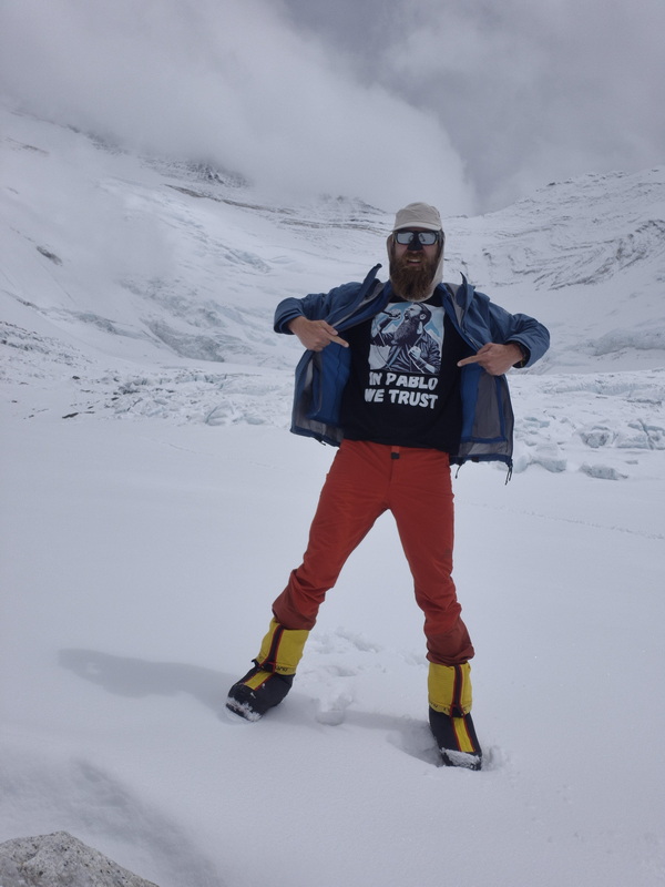
In total, I spent 1 night at Camp 1 and 2 nights at Camp 2. Perfect progression. Early the next morning, before sunrise, we descended directly to Base Camp.
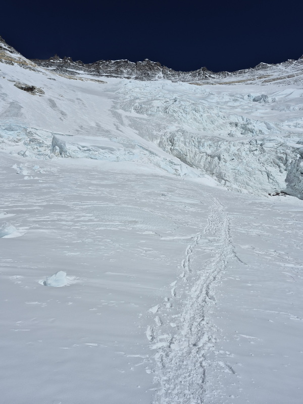
That wrapped up acclimatization. Now, all that was left was to wait for a favorable weather window for the summit push.
Summit push
The biggest part of these expeditions is waiting. First, I waited for the Khumbu route to open. Then, I waited for the rope-fixing team to reach the summit. And the rope-fixing team was waiting on the weather. Every day, I hiked up to Pumori High Camp just to stay active, rather than pacing between my tent and the dining tent at Base Camp. Meanwhile, my Sherpa guide carried oxygen bottles up to Camp 4 so they would be ready for our summit attempt.
Finally, the rope-fixing team reached the summit of Mount Everest and opened the route. A few climbers summited right behind them that same day - a risky tactic, as you never know if the fixing team will succeed or be forced to turn back, which can burn valuable energy for a second attempt.
Once the ropes were fixed, a few days of high winds made climbing too dangerous. Choosing the right summit day is a delicate science: you want minimal risk and maximum chance of reaching the top and returning safely. You also have to consider hundreds of other climbers making the same decision - if everyone goes on the same day, massive bottlenecks form, increasing risk and lowering your odds of success. My strategy was to go on the earliest possible good-weather date while the majority of climbers were still acclimatizing or resting at Base Camp.
After a few days, the forecast finally showed a two-day window of mild weather: low winds (10 km/h at night, rising to 25 km/h in the afternoon) on April 17 and 18. Since April 19 predicted stronger winds of 25 to 40 km/h, I picked April 17 as my summit day, meaning I needed to leave Base Camp a few days in advance. All preparations were complete. I was ready to attempt the summit of the highest peak on Earth: Mount Everest.
On April 14, just after midnight, we set off from Base Camp. The route through the Khumbu Icefall was familiar, though crevasses had widened and the overhead seracs seemed even more precarious. Just before sunrise, near Camp 1, I bumped into the legendary Kristin Harila, who set speed records for climbing all 14 eight-thousanders. This year, she was attempting Nuptse, Lhotse, and Everest back-to-back without supplemental oxygen. We continued toward Camp 2 together. It was bitterly cold and windy - much colder than during our acclimatization run.
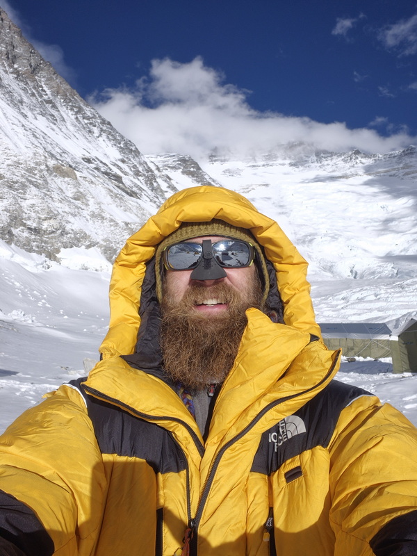
Night in Camp 2, and on April 15 I began climbing toward Camp 3 at 7,100 meters. The initial approach leading to the Lhotse Face isn't too steep, but the face itself is intimidatingly sheer - a massive, continuous slope of hard ice with nowhere to sit or rest. It was a constant effort, made harder by the new altitude. During acclimatization, I had only reached the base. Surprisingly, I felt great and kept pace with a few Sherpa climbers. Camp 3 sits directly on the slope on narrow terraces carved out of the snow to hold tents. If you slip here, your body would likely end up at the very bottom. Once again, there weren't enough tents available for everyone - I'll share exact numbers later - so we had to dig out a spot and pitch our own tent. It was exhausting, to say the least.
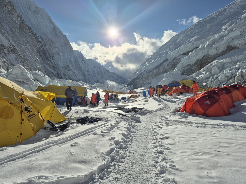
Night at Camp 3 went smoothly; I felt great. On April 16, we pushed toward Camp 4 at nearly 8,000 meters. This was where I began using supplemental oxygen. Some climbers start using oxygen as early as Camp 2 (or even lower) and sleep with it at Camp 3. Almost everyone - except those climbing non-oxygen - uses it from Camp 3 all the way to the summit and back.
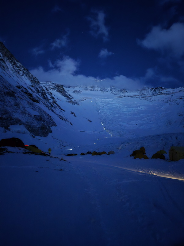
That morning, Lakpa and I joked that I should climb faster to secure a tent at Camp 4 so we wouldn't have to pitch one again. But the day turned out to be extremely brutal and took much longer than expected. The first half went well; I knew the section up to Lhotse Camp 4 (at 7,800 m) from my previous expedition. Right above Camp 3, the steep climb up the Lhotse Face continues before traversing left toward a famous landmark: the Yellow Band, a band of sedimentary rock formed when Everest was at the bottom of an ancient ocean. Crossing it requires negotiating a near-vertical 5–6 meter rock section followed by steep slabs. Past that lies a long traverse to Lhotse Camp 4 - just a cluster of a few tents, hardly a real camp. Beyond that was uncharted territory for me. I had read several articles to mentally prepare, but the reality was completely different.
Even most route diagrams were inaccurate - at least compared to the 2026 line. Here is the most accurate I've found (created by https://www.facebook.com/gorskiemapy)
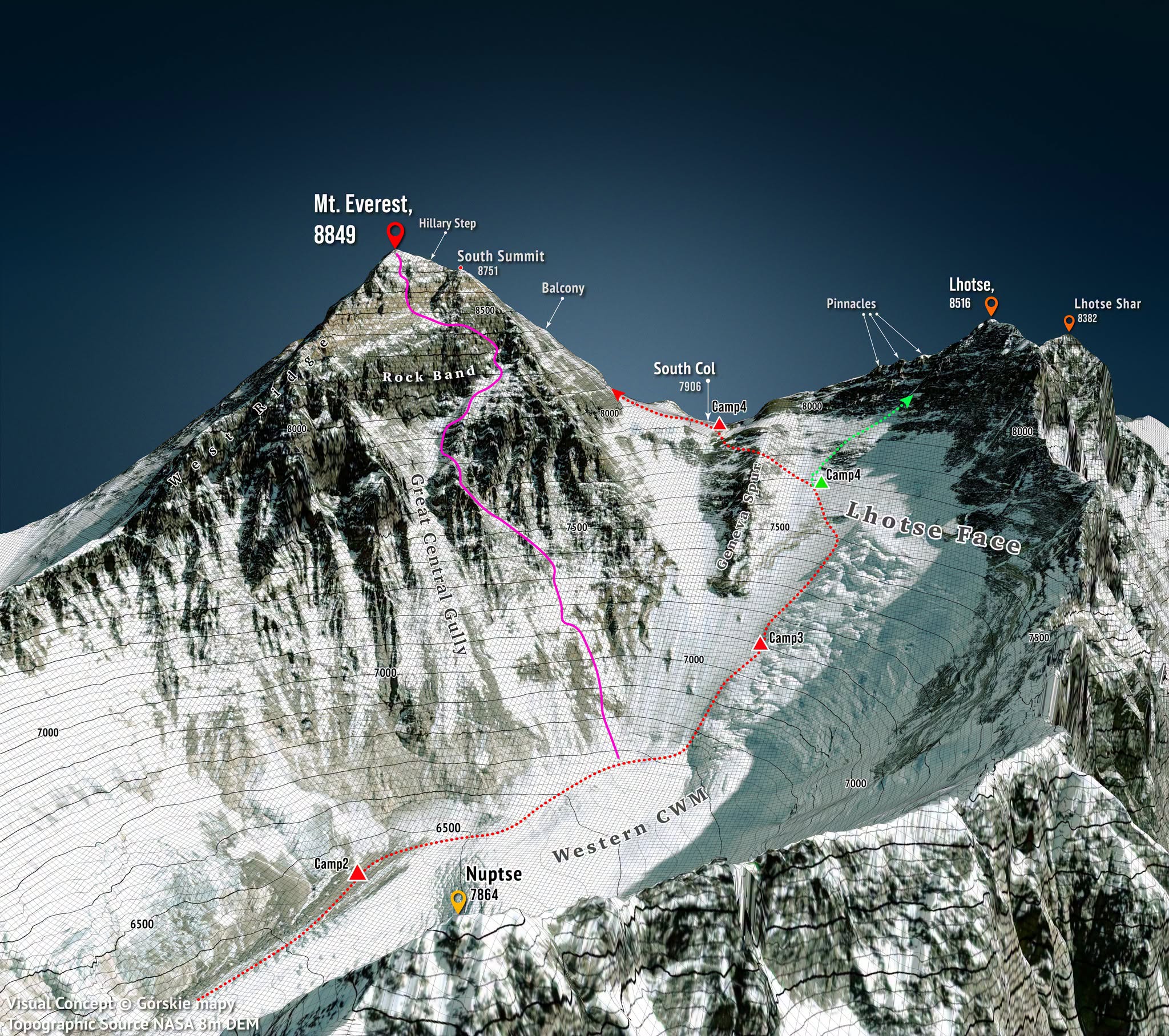
Past Lhotse Camp 4, the trail cuts left toward a prominent rocky ridge called the Geneva Spur. It traverses back across the ridge before crossing over it - the primary climb leading to Camp 4. Once over the ridge, the terrain levels out into a slight incline. However, it's entirely rocky, filled with loose stones and slabs that are awkward to navigate in crampons. Camp 4 is visible in the distance, but it feels deceptively far away. Reaching the spur crossing was exhausting. Was it because I was using an oxygen bottle? More realistically, it was simply due to a lack of acclimatization.
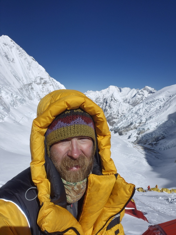
A quick side note: before this trip, I was curious about what spending time at Camp 4 and the final summit push were actually like from a practical perspective, but information was scarce. From here on, I'll share more details about what it's really like on the ground.
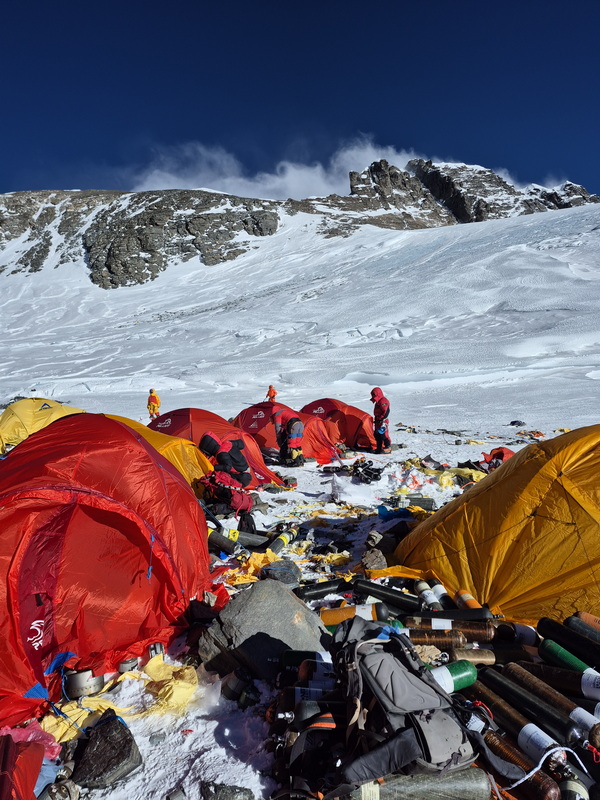
I finally reached Camp 4 after about 8 hours, only to find the worst possible news: no open tents remained. We had to pitch a new one. Lakpa salvaged an old tent from a pile of debris. In general, Camp 4 on the South Col resembles a high-altitude junkyard - shredded tent remains, food cans, fuel canisters, human waste, and trash scattered everywhere. It's a grim sight.
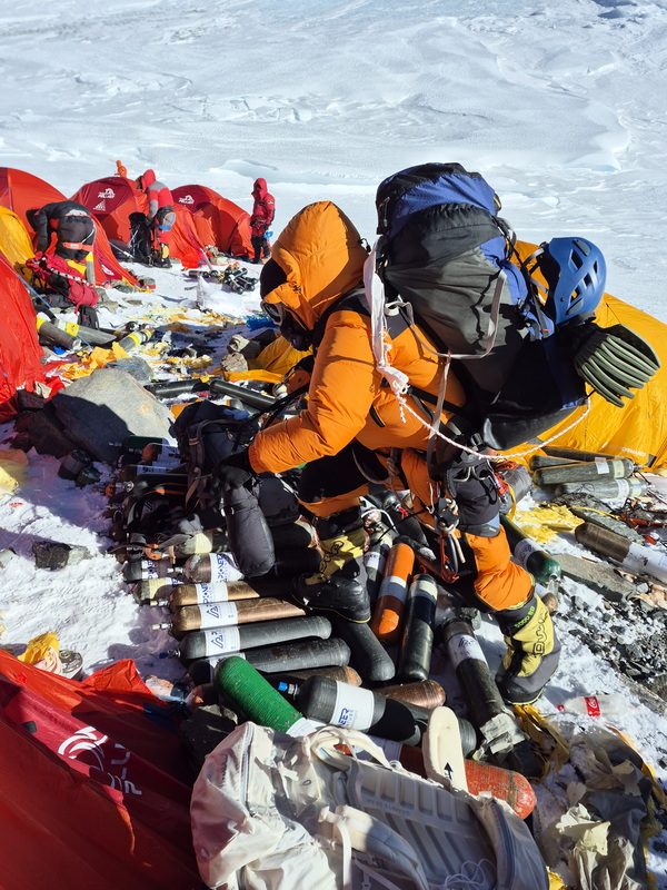
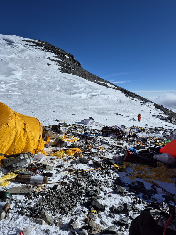
Pitching the tent in near-gale-force winds took an hour of intense effort, draining what little energy we had left. Once inside, I finally got to rest, but Lakpa went straight to work melting ice for water so we could eat and drink. Even inside the tent, climbers and Sherpas remain on oxygen. Flow rates are adjustable - for example, 2 liters per minute while climbing and 0.5 liters while sleeping. Since oxygen is limited, you have to manage it carefully. Soon, two more people - a client and their Sherpa - crawled into our tent. After all the energy we expended pitching it, they just walked in, bastards! Jokes aside, there was simply no other shelter for them.
A crucial rule is keeping your inner boots and socks dry before pushing higher. After the long climb to Camp 4, my inner boots felt damp, so I pulled them out of the shells and put them inside my sleeping bag, saving a fresh pair of socks for right before departure. It was time to rest for a few hours before the summit push. Some climbers skip bringing sleeping bags to Camp 4 to save weight, but I believe proper rest is essential, so I crawled in to get some sleep. Now it is time to take a rest, just a few hours before we start the summit push. Some climbers prefer to not take their sleeping bags here, to Camp 4, because it’s just for a few hours. But I believe that good rest is very important, so I crawled in to have some sleep. Inside, temperatures were well below freezing - probably around -10°C - and everything was coated in frost. You have to be mindful of your gear so it doesn't freeze to the tent floor. Surprisingly, I slept very well in my down suit with the sleeping bag half-zipped. While I slept, Lakpa swapped out my oxygen bottle without me even noticing. Surprisingly I had a very good sleep. It was warm in a down suit and half opened sleeping bag. While I was sleeping, Lakpa changed my oxy bottle, so I did not even notice it. Our start was planned for 10:00 PM, but at 9:30 PM, another climber in our tent was woken by an alarm. I would have preferred to sleep until the last possible minute, but with four people, gear, backpacks, and oxygen bottles packed tightly inside, sleeping was no longer an option. I made space for him to pack up and exit. Why he wanted to stand outside in the dark, freezing wind 15 minutes before departure is beyond me. I began packing slowly. It's best to keep all your gear consolidated rather than leaving your sleeping bag loose, because when you return, other climbers will likely be in the tent, making it difficult to locate your belongings. I stowed everything into a storage sack, put on fresh socks, an extra base layer, a balaclava, and a warm hat. The final challenge inside the cramped tent was putting on my boots - a arduous task when space is tight, everything is frozen, and you're tethered to an oxygen hose that seems to get caught on everything.
Outside, headlamps flickered in the dark. From my team, most climbers pushing tonight were from the Chinese contingent, along with a climber from Turkey and myself. Once outside, I buckled my harness and strapped on crampons. A quick gear check: roughly 2 liters of water (1 liter in a thermos inside my pack, two small bottles tucked into my jacket), snacks (granola bars), ski goggles, and spare mittens. It didn't feel overwhelmingly cold. I was wearing a midweight base layer plus an extra thermal top, a fleece jacket, a full down suit, three-layer high-altitude boots with thick socks, a balaclava, a hat, thin gloves, and heavy gloves (with thick mittens stashed in my pack).
Finally, Lakpa and I were ready, setting off just after 10:00 PM. A few climbers were already ahead of us, while others were still gearing up in camp.
The initial stretch crosses the South Col - a mix of rock, snow, trash, and ice. Then comes the glacial section: an ascent up roughly 100 vertical meters of rock-hard ice where my aluminum crampons struggled to bite. Fixed ropes start here and run continuously to the summit. Beyond that ice slope, you reach the top of the glacier - a surprisingly flat expanse the size of a few football fields. That entire first leg took about an hour from camp. Next came the long, steep slope leading to the "Balcony." Deep snow covered the trail, but luckily the climbers ahead had kicked in decent steps. In the pitch black, all I could see was the rope, snow, and the boots directly in front of me. I got stuck in a queue of climbers, which I didn't mind - it gave me a built-in excuse to rest. But Lakpa kept urging me forward from behind, which was frustrating. - Lets go, lets go. - Don’t you see there is a queue! At times, he pushed me to pass people, which was exhausting: stepping off the packed trail into deep snow, accelerating uphill, and unclipping/reclipping around safety lines. After every overtake, I needed minutes to recover. Meanwhile, other climbers passed us as well.
There were virtually no places to stop on that long uphill slope, so we kept grinding upward. Occasionally I glanced down into the valley below and saw lightning flashing inside a distant storm - an incredible sight from above. The weather remained manageable - a steady, strong wind blowing snow around, but nothing critical. I lost all sense of time on that endless snow slope. Eventually, I stepped onto a flatter, snowy platform and heard voices: the Balcony (8,400 m), roughly halfway between Camp 4 and the summit. What a relief. Reaching the Balcony while it was still dark meant we were making good time. Someone mentioned it was 4:00 AM - six hours from Camp 4. Right on schedule. I took a quick drink of water and tried to eat something. Lakpa swapped my oxygen bottle for a fresh one. In hindsight, I regret not actively monitoring my oxygen consumption and remaining pressure. I strongly advise monitoring your gauge personally so you always know your exact situation. Nothing went wrong in my case, but I'll pay closer attention next time. After a brief rest, we pressed on. The trail veered sharply left, following the ridge toward the South Summit. As the sun began to rise, visibility improved dramatically, making the climb much more enjoyable. But looking up, I realized how far we still had to go.
The first few hundred meters followed a broad snow slope before narrowing onto an exposed ridge. The views were spectacular, but I lacked the energy to take photos. "Unzip my pocket, pull out my phone, take off my outer gloves... too complicated! I'll take photos on the way down," I told myself. In the meantime, it was business as usual: clip and unclip at anchor points, overtake when possible, and yield to descending climbers.
After about three hours of steady climbing, I reached the South Summit - another major milestone at 8,749 meters, roughly 100 vertical meters below the true summit of Everest (8,848.86 m). The view of the remaining path from the South Summit was breathtaking - by far the most dramatic and challenging stretch of the entire route, laying out almost the entire final push before you. First, you must drop down a 10-meter step from the South Summit to reach the start of the ridge. Right beneath the rock face sits a small alcove where climbers can rest or swap oxygen bottles. We swapped our bottles right at the South Summit. Speaking of oxygen management: Lakpa had been controlling my flow rate the entire time, and at the South Summit, he decided that the steepest climbing was behind us and lowered my flow rate. Lakpa paused on the South Summit to rest while I slowly moved forward ahead of him. I started across the Cornice Traverse - a razor-thin ridge with snow overhangs on one side and a sheer drop on the other. You have to traverse it carefully over 100–200 exposed meters, navigating tight rock gaps and delicate footwork. Right at the start of the ridge, I suddenly felt like my oxygen supply had cut off completely. I was instantly drained of strength. With no safe place on the narrow ridge to remove my pack and check the regulator or bottle, I decided to turn back toward safer ground. Thankfully, after a few steps, I saw Lakpa approaching. I signaled frantically, and as soon as he reached me, I gasped, "I can't breathe!" He checked the regulator and replied, "It's fine, it's set to 2 liters per minute." Why he had turned it down to 2 liters was beyond me - most climbers increase their flow to 4 liters per minute on this final, extreme-altitude push. We had plenty of oxygen left, so there was no need for such strict conservation. After some back-and-forth, he bumped the flow up to 3 liters. Even though it didn't immediately relieve my exhaustion, we pressed onward.
Right at the end of the ridge, at the base of the Hillary Step, lay a deceased climber directly on the trail - you literally had to step over the body. It's a tight bottleneck between the rock wall of the Hillary Step and the ridge edge, tangled in a web of old and new ropes with climbers moving in both directions. Normally, major queues form here if someone gets stuck on the step, but fortunately, there were only a few people ahead of us today. The short wait gave me a welcome moment to catch my breath.
There are persistent rumors that the Hillary Step collapsed during the 2015 earthquake. I can't compare it to how it looked before, but I think its appearance depends largely on seasonal snow accumulation. A few rocks may have shifted, but the step itself is very much still there. It consists of a near-vertical 10 to 15-meter rock section. While technically straightforward, climbing it at nearly 8,800 meters is physically punishing. Above the Hillary Step, you reach the summit dome. The narrow knife-edge ridge gives way to a relatively wide, steep snow slope mixed with rocky patches. No more technical climbing - just walking. Almost there! I was utterly spent, forced to pause every 10 steps to gasp for air. Even while standing still, my lungs were pumping frantically. I could see the summit sign just 50 meters ahead, but my body felt completely drained. At one point I genuinely thought: maybe it's time to turn around? Then another thought followed immediately: I've come this far, the summit is right there, and if I turn around now, I'll regret it for the rest of my life. So I kept pushing, resting after every five steps. I think those final few dozen meters took at least twenty minutes.
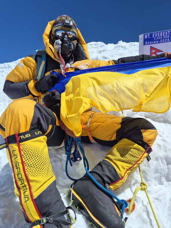
Finally, I made it. There was no instant wave of joy, no celebration, no dramatic emotional release. I was simply too exhausted. The view from the top was incredible, I assume - my main focus was just staying alive. I took a few quick photos by the summit sign and immediately started heading down.
I was completely wasted. Lakpa clipped my short tether to his harness and essentially towed me down. Our descent was fast - I had no time to stop and rest as Lakpa kept pulling me forward. Somehow, we managed to climb down the Hillary Step and navigate the ridge. The final hurdle was climbing back up to the South Summit. Right after reaching it, I suddenly felt a wave of energy return, as if coming back to life. We unclipped and continued descent in a proper way. It was a long descent - first down to the Balcony, then continuing lower. At one narrow section, a slow climber ahead was descending the fixed line. I sat down on the snow to wait. The weather was pleasant - soft sunlight, light clouds, and virtually no wind. I drifted off to sleep right there.
I don't know how long I slept - probably just a few minutes - but a line of climbers had already formed behind me. And that is how bottlenecks happen on Everest! I resumed descending, and what felt like an eternity later, reached Camp 4 around 4:00 PM.
So the timeline was roughly: 10:00 PM start, 4:00 AM Balcony, 10:00 AM Summit, 4:00 PM Camp 4.
After a brief rest at Camp 4, packing up gear, swapping to a half-full oxygen bottle, and grabbing a quick drink and snack, we continued descending. Staying at Camp 4 is dangerous, so our goal was to get as low as possible. Shortly after dark, we reached Camp 3. I had carried a small bottle of Coca-Cola to the summit and back, but it had frozen solid. Trying to melt it in a pot of warm water was only partially successful. After resting and some debate, we pushed on to Camp 2, arriving shortly after midnight. I got some hot tea and crawled into a tent. Without my sleeping bag - which was in Lakpa's pack - I threw on every layer I had, stuffed my feet into my backpack, and passed out. Early the next morning, before 6:00 AM, I packed my gear and headed down. Lakpa was still sleeping (likely inside my sleeping bag), and since he had arrived late the previous night, I wanted to let him rest while I started the descent.
I crossed the Khumbu Icefall completely alone, passing only a few climbers heading up, and reached the base by 10:00 AM. During the icefall crossing, adrenaline kept me focused despite the hanging seracs, but once I reached safe ground, my energy completely evaporated. The final few hundred meters across the glacier took over half an hour (a stretch that usually takes 15 minutes). But finally, I was back at Base Camp - welcomed by unfrozen Coca-Cola, a hot breakfast, and endless tea. I did it! Was it easy? Hell no! Would I do it again? Hell yeah!

 - Youtube
 - Instagram
 - Search
