If you like active recreation and live in Krakow, or maybe you came to this wonderful city, but want to get out to see the Tatras, then this route will definitely suit you.
So, if you are very brief about the route, you will visit three peaks, the highest of which is 2005 meters. Walk along the ridge on the border of Poland and Slovakia, admire the mountain views, and maybe even meet someone from the local fauna.
And now learn more about the route and what it will take to complete it.
1-day route through the Tatras
Zakopane - Strazhiska Valley - Strazhiska glade - the pass to Grzybovtsa - the red route to Gevont - Gevont - Kopa Kondratska - the pass under Kopa Kondratska - the ridge between Poland and Slovakia - Kasprov Verh - Kuznice.
This route has a length of 17.5 km and a fairly large climb of 1,500 meters. But on the other hand, you can have a lot of fun.
It's worth noting. that if you want to take this route with children or you are simply not ready to walk 18km through the mountains, then it is possible to reduce the mileage and complexity. Just go it in the other direction and start your journey with a ride to Kasprov Top on the lift. In this case, you will not have to gain almost a kilometer of altitude and most of the route will be descents.
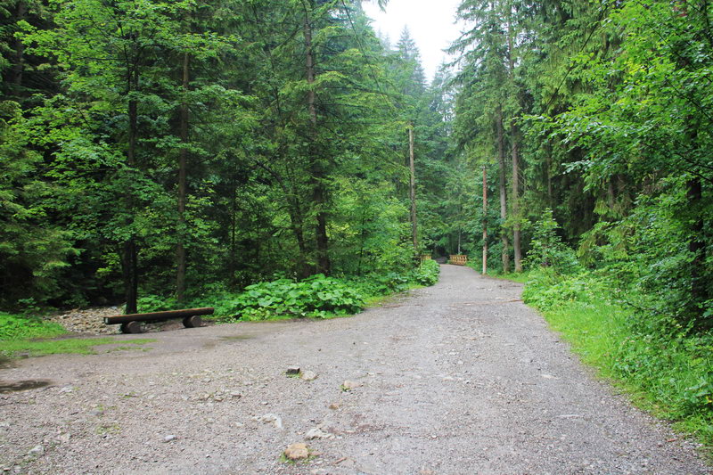
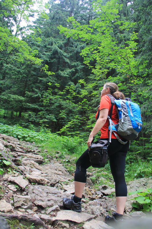
I went on the route around 8:30 in the morning in the parking area, at the end of Strazhiskaya Street. There were almost no people at the entrance, apparently the cloudy weather played a role. 5 zlotys for entering the national park and here I am on the route.
Yes, there is a good dirt road along the Strazhiskaya glade itself. It is impossible to miss the clearing, because there is a cache on it, plus there are tables, benches, and a cafe. And there are always a lot of people there in good weather.
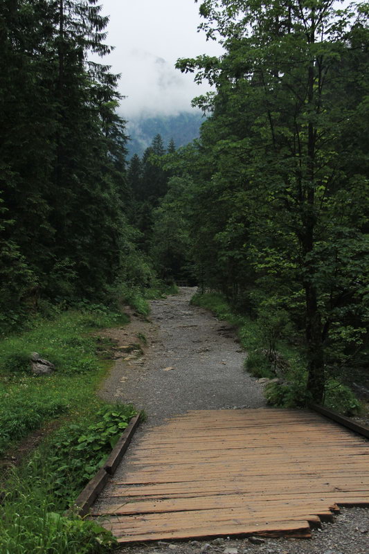
From Strazhiskaya polyana you can go to the Serna rock (3 km and 1.5 hours, a considerable climb of 350 meters), to the Siklavitsa waterfall (1 km and 30 minutes) or, as I did, do not go out into the clearing, but turn right in front of it and continue the route with red and black markers.
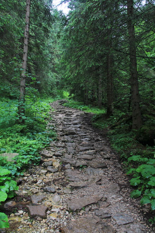
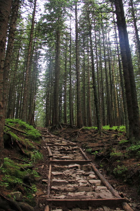
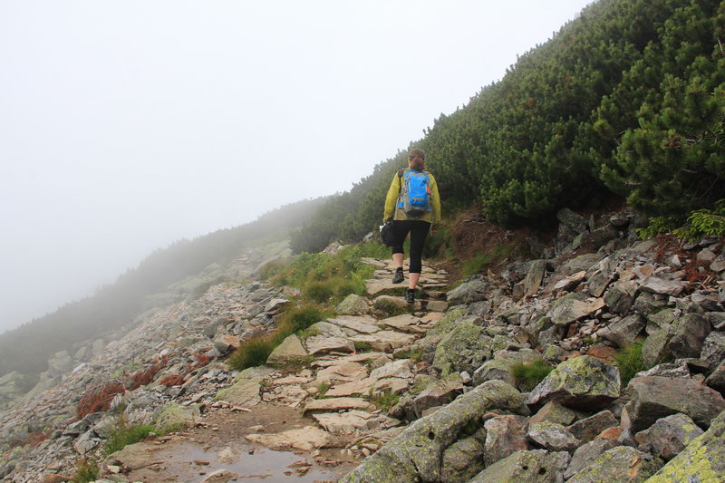
Here the trail already begins, which in places passes through placers of stones, but still the whole route is calmly traversed in good sneakers. And only if you are going to go in the off-season, it is better to wear shoes.
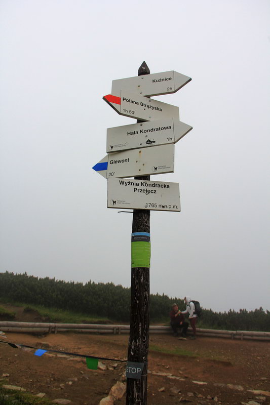
It is only 1.3 km to the pass to Grzybowcu (Przełęcz w Grzybowcu), but since the set is almost 300 meters high, you will have to strain. Sometimes the trail winds a lot, a couple of times the trail crosses a stream. The pass itself is very implicit and you will know that you have already come only when you see a column with signs that will happen 10 meters before the pass.
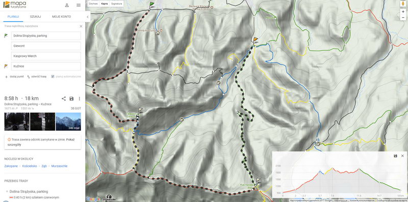
By the way, I highly recommend the website for planning hiking routes in Poland and Slovakia mapa-turystyczna.pl It is not only convenient to plan a route there, but also to see the height differences and the required time. I usually get it faster than they write, but if you walk slowly or with children, then just the time will match.
And this is what the planned route looks like on the above-mentioned website. There are also route colors and elevation differences...
The pass to Grzybowcu does not stand out in any way, there are just a couple of signs there, but we are only interested in the red route and the pointer to Gevont. It's not far to Gevont, but it's not close yet.
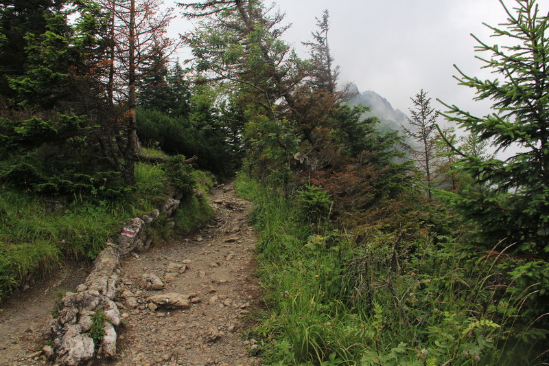
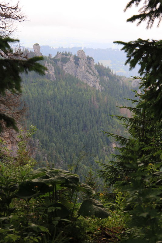
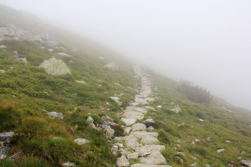
The trail goes through the forest for some time, but very soon it comes out on rocky ledges. This is my favorite part of this route! There are just very beautiful views from the trail and the grounds around. We wanted to walk here in winter, but the red route from the pass to Gzhybovtsa and to Gevont is closed in winter and early spring:(
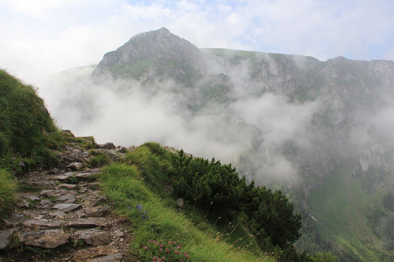
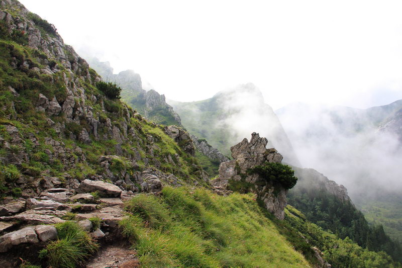
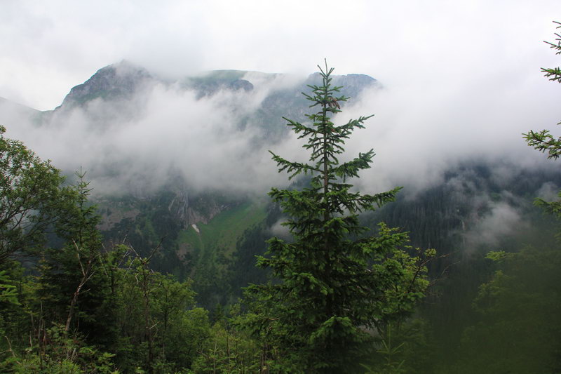
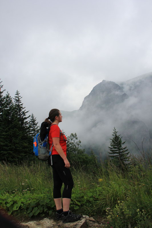
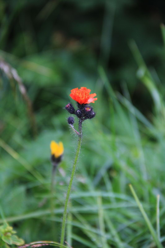
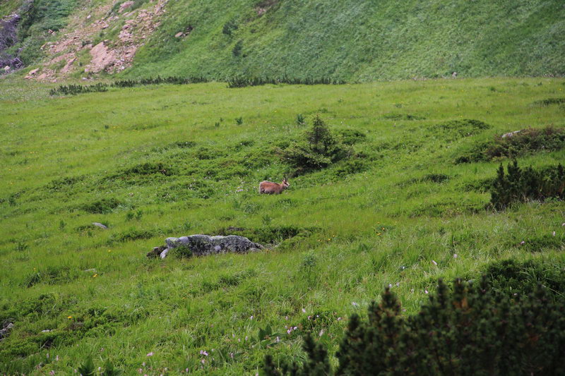
After about 1 hour, the trail leads to a bald scree shoulder on which there is a small platform and logs lie. You can sit down to rest. In good weather, there are beautiful views from here, but this time everything was covered with clouds. And we also saw a herd of chamois twice in the area of this site.

There is very little time left from the site to the pass near Gevont, maybe 15-20 minutes. I went to Gevont almost completely alone, only at the pass to Grzybowiec I caught up with a couple and then another father and son - this is very unusual for this route, but it also happens.
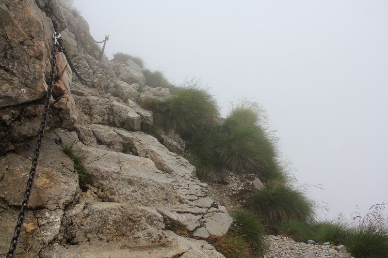
But other tourists were already waiting for me at the pass. However, this time I was lucky and there were very few people for Gevont, even at the very top there were only 5-6 people. But it was not in vain that bad weather was promised today - there was absolutely nothing to be seen at the top, although the view from the Gevont is usually very beautiful. There is a rocky path leading to the top itself and part of the path is one-way. I.e. you go up and down different paths. There are chains hanging there and sometimes you even want to hold on to them ;)
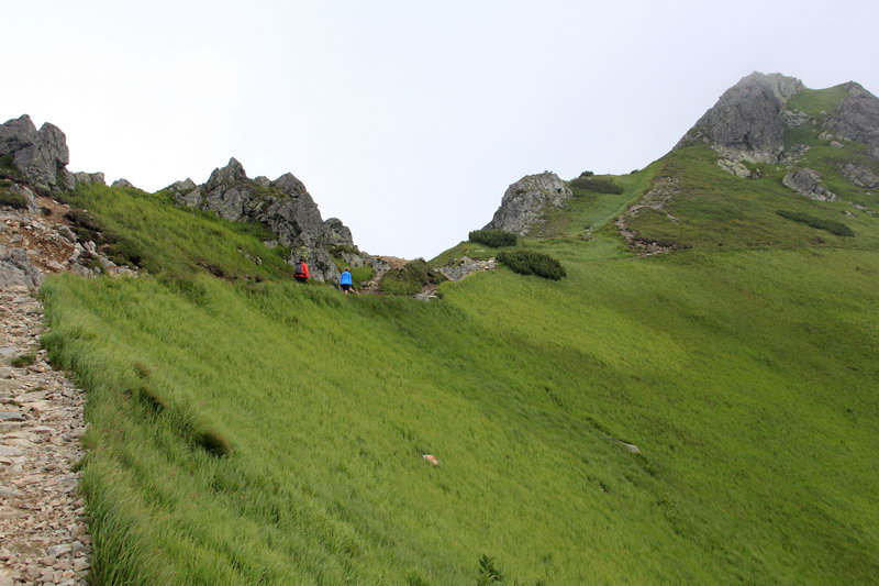
A yellow route leads from Gevont to Kopa Kondratskaya, about 2 km of the way and another 300 kilometers of climb. It was the first time I walked along this section of the route. I don't know why, but I was sure that I wasn't going to climb - I was already on the ridge and now I could just walk all the way to the top of the Casper... But it turned out to be completely different.
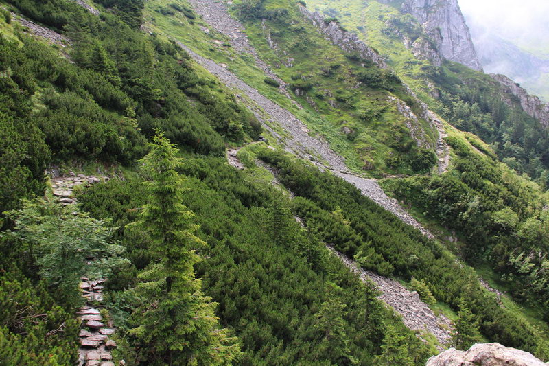
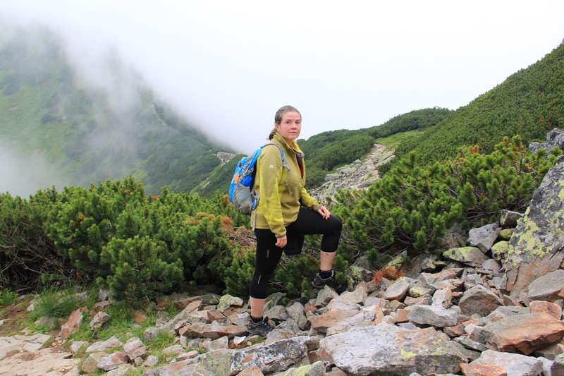
The trail runs along the slopes at the beginning with a pine stand, and then through generally bald rocky areas. All the people I met came to meet me. Apparently, the route to get to the Brave Top by lift, walk along the ridge, and then go down is very popular.
The top of the Kopa Kondratska has a height slightly above 2000 meters, namely 2005 meters. There is not much to do at the very top, as it looks like an ordinary hill. So a quick photo at the inscription and you can move on.
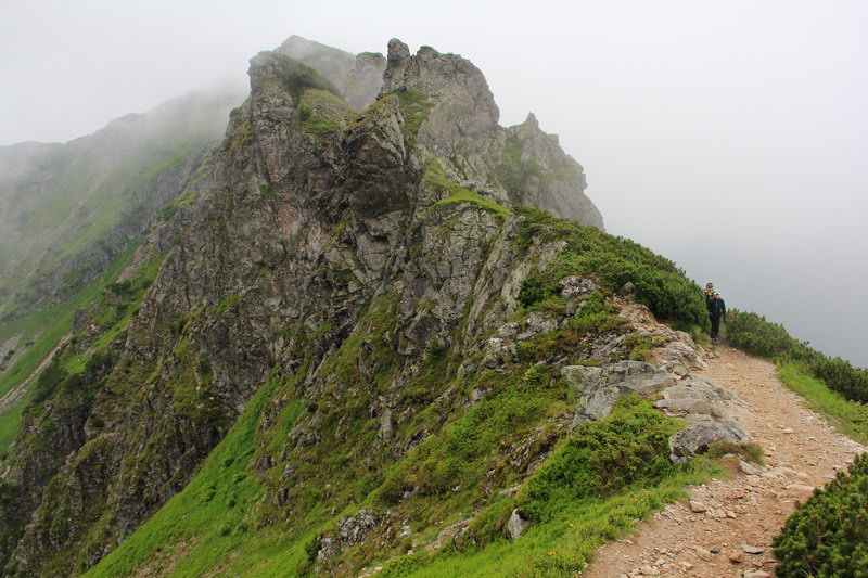
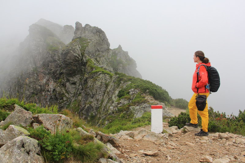
Almost the entire further 4km journey to the Kaspry Top runs along the ridge that separates Poland and Slovenia. All the way along the road there are red-and-white border posts, and SMS messages come to your phone that you are in Slovakia.

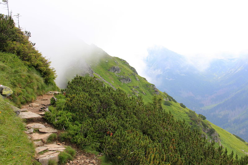
While traveling along the ridge, you will lose and gain a little more than 300 meters in total. And at the same time you will see very beautiful valleys opening on both sides of the ridge.
In some places along the road there are rocks, you can also meet animals - I saw a lone chamois grazing on the Slovak side.
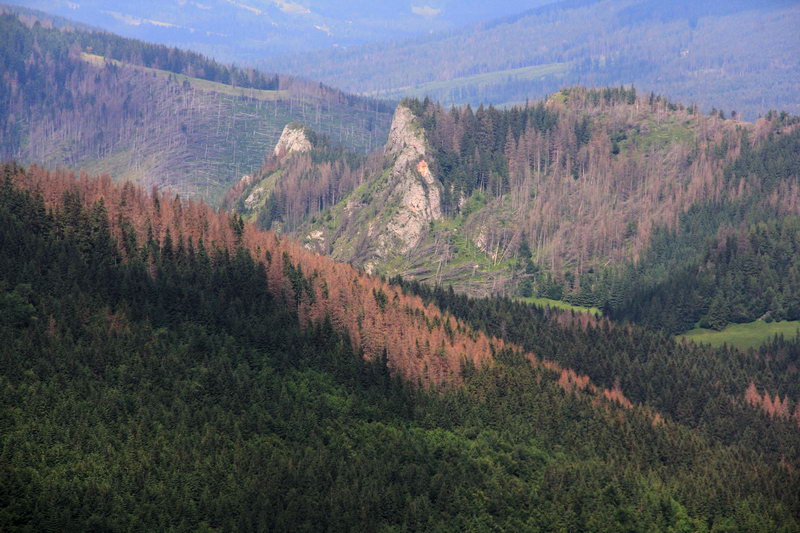
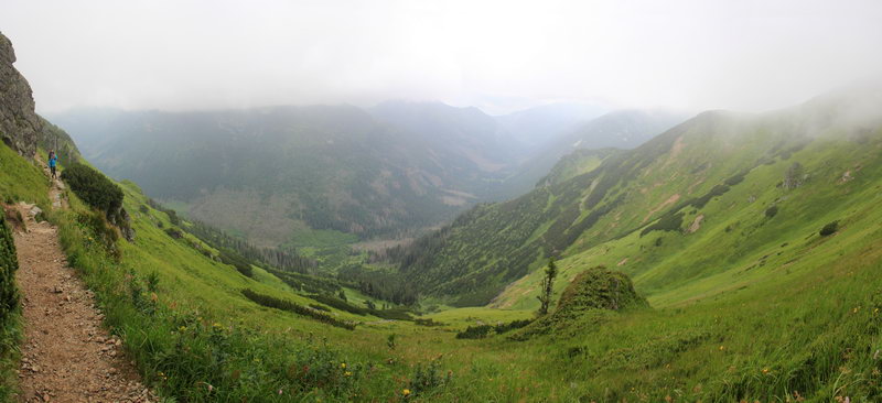
I was lucky and the appearance of the mountain was changed with enviable regularity throughout the route. Sometimes they are shrouded in clouds, sometimes they sparkle with greenery, and sometimes they just hid in the clouds. The Polish side did not really want to show their beauty on this day and remained shrouded in clouds almost all the time, but the Slovak side showed itself in all its glory!


")